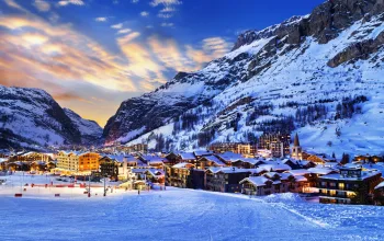
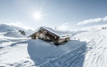
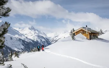
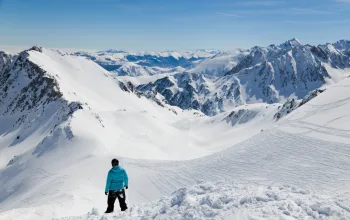
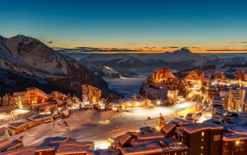
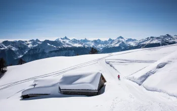
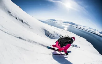
By the time it clears the mountains tomorrow (Wednesday) some resorts are predicted to have had more than a metre of snow. Social media has been abuzz with resorts posting pictures of the newly covered slopes, and hopes are high that – particularly at altitude – this week will see something of a decent base established ahead of the winter.
Higher regions of the Alps kicked off the month with some snow over the weekend, with the heaviest falls in the western French Alps and central Italian Alps.
Monday brought more snow in many western and some southern parts of the Alps, with a freeze point sitting between 1,600m and 2,200m. The snow has been mounting up above 2,500m, with around half a metre above Tignes, and closer to a metre above Les 2 Alpes.
The heaviest falls will now move further east, into the southern Austrian Alps and the Dolomites. Although the storm will clear away, the rest of the week will then remain unsettled and relatively cool, with the possibility of further snow, especially later in the week and into next week when some bigger storms are possible.
Currently there are 16 ski areas already open in the Alps, most of them with glaciers. Several were closed temporarily because of the strong winds and blizzard conditions. The fresh falls will be welcomed by these and by others looking to open later this month, such as Val Thorens where the lifts are due to start turning on 23 November, and Andermatt and Verbier in Switzerland.
In the Pyrenees, resorts on both the French and Spanish sides, as well as Andorra are also reporting good snowfall, though accumulations are more in the range of 25-50cm, which may be enough to see the first areas open soon.
It’s too early to say whether this means the season will kick off on time or even ahead of schedule, but higher resorts with glaciers such as Zermatt and Cervinia, Tignes, Val d’Isere and Les 2 Alpes will be quietly confident.


